News
This map shows you all the Covid-19 cases in your area
With positive covid tests on the rise, it doesn't hurt to see what's going on around you.
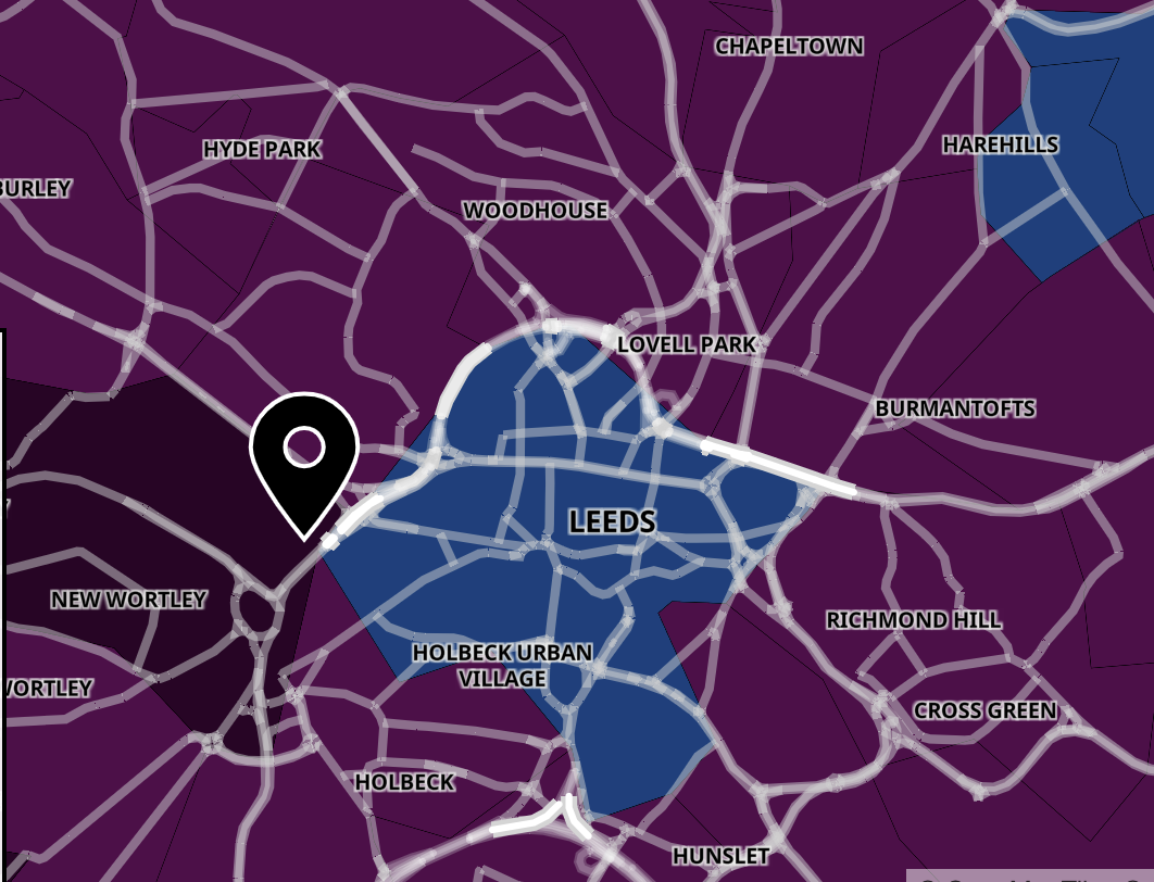
There's an interactive map that you can use to see all the Covid-19 cases in your area around Leeds.
The easing of restrictions in Leeds and across England this week just so happens to have coincided with a large rise in cases as well as a spike in hospital admissions and deaths.
As a result, whilst technically we are all now more "free" to make our own choices, caution is still being urged amongst the general public.
The map has been revealed as a leading SAGE advisor has warned that another lockdown could be imminent in the coming weeks.
Covid is becoming prevalent amongst young people, with those aged under 30 who may not have had a chance to have both inoculations before the easing now making up the majority of those being treated in hospital.

Long covid is also of concern for these young people, especially as it is not yet known what the long term impact of this illness really is.
The map will help you to discover the number of new cases diagnosed in the past week, as well as showing data to explain how that compares to the week prior.
It shows the case rate per 100,000 people - a metric that is useful for comparing what's going on here with other towns and countries.
And that's not all.The map will also tell you how many new cases have been diagnosed in the past week, how that compares to the previous seven days, and the colour code will give you an idea of how high the infection rate is where you live.
To use the map and see the cases in your local area, all you need to do is input your postcode here and press enter.
Head over to the government website here to have a go and see what the Covid-19 cases are like in your area.
Feature image - Gov.uk